



The Marangu route
The oldest route up Kilimanjaro, and the only one where you sleep in huts: Mandara, Horombo and Kibo. A well-kept path, gentle gradients, and the same way up and down.
It is often sold as the easy route, nicknamed the Coca-Cola route. The walking is gentle, but the route offers almost no chance to climb high and sleep lower, and the park’s own figures put its summit success at only 42%. Here is how it works, how to give yourself the best chance on it, and the alternatives.
- 66.9 kmGate to gate
- 5 or 6 daysSix adds a day at Horombo
- HutsThe only route with huts
- 4,700 mLast night, Kibo Hut
What Marangu does well
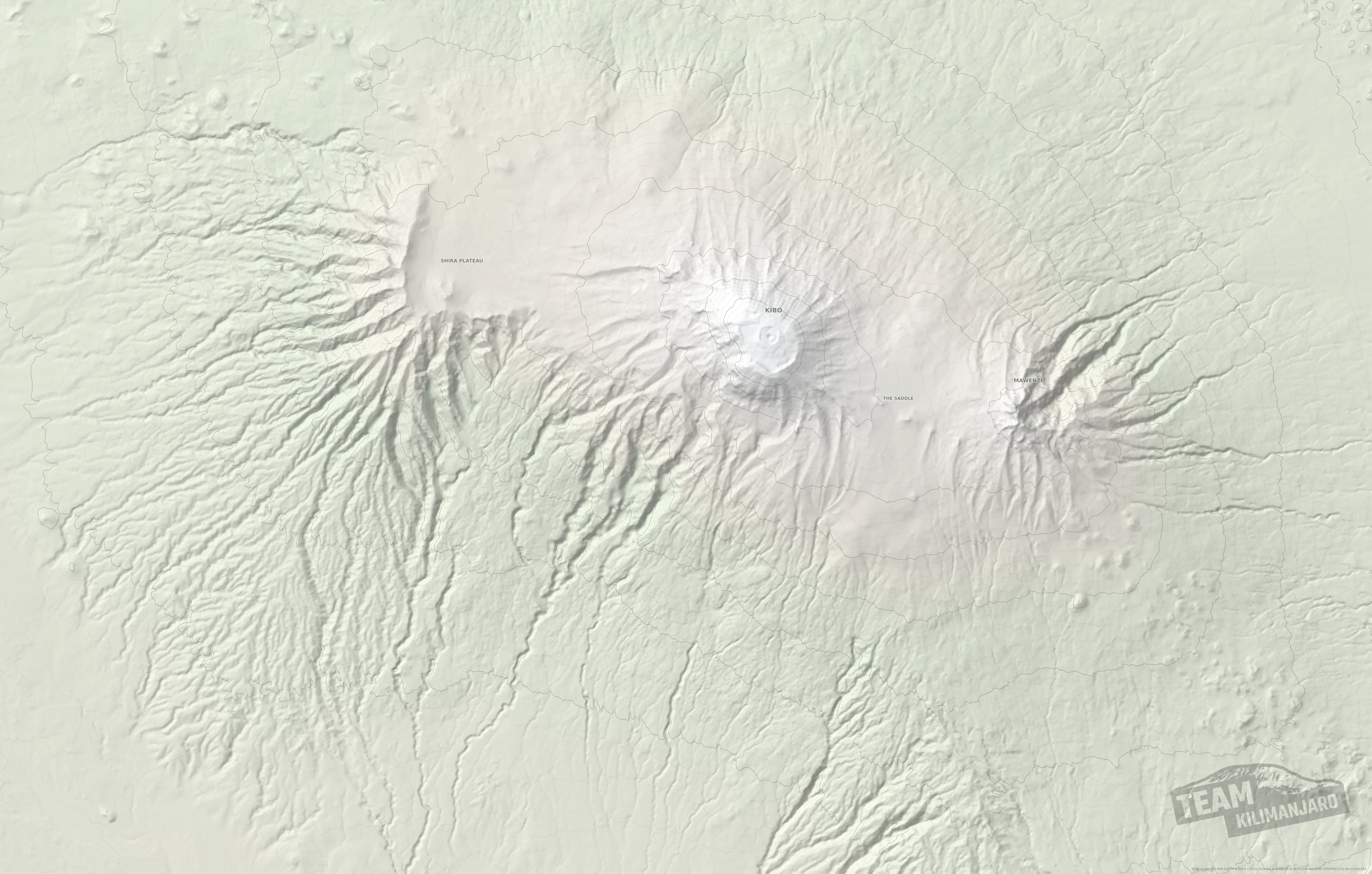
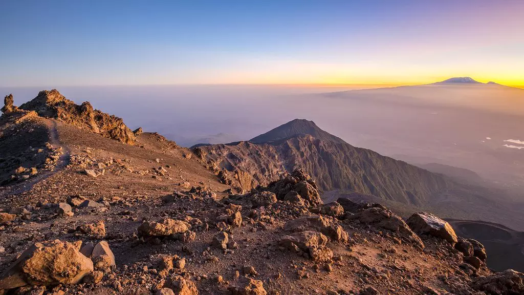
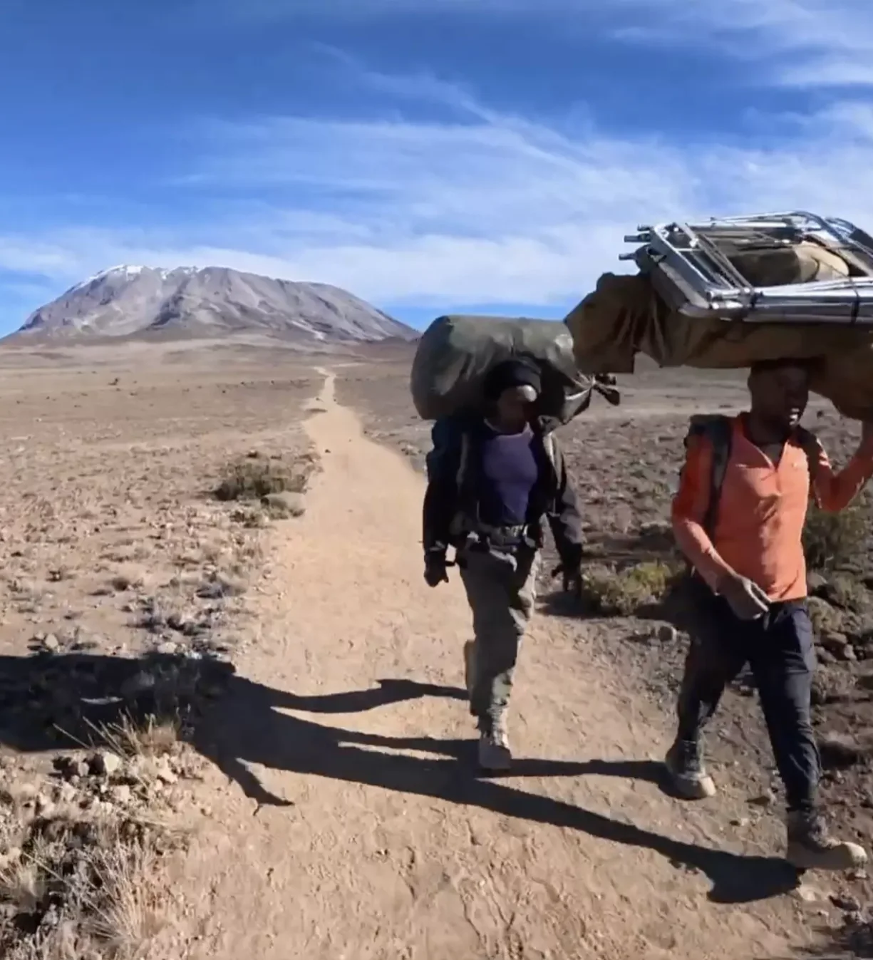
For climbers who would rather not camp, Marangu is the only choice: every night is spent in a hut, with a bunk, a mattress and a roof. The path is maintained in impeccable condition by the park, the gradients to Kibo Hut are among the gentlest on the mountain, and once you reach the Saddle the views of Kibo’s eastern side and of Mawenzi are vast.
It is also the quickest route to reach and the simplest to supply, which keeps its cost down.
Where it falls short
Marangu offers almost no chance to climb high and sleep lower. Even the six-day climb, with its extra day at Horombo, gains only about 200 m, because the lower slopes of Mawenzi, which would give more, are closed to climbers because of rockfall.
So climbers reach Kibo Hut less well acclimatised than on other routes, and face the hardest night of the climb from there. That is why, on the park’s own figures, only 42% of climbers on Marangu reach the summit, the lowest of the main routes.
Marangu compared with our own routes
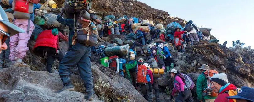
If huts matter most, Marangu is the route. If the summit matters most, our own routes give you a far better chance. Tap i for detail.
| Route | Summit success | Nights in | Climb high, sleep low | Days | Gate to gate | Last night | Summit approach | Crowding |
|---|---|---|---|---|---|---|---|---|
| Marangu | 42%Park figures | Huts | About 200 mOnly on the six-day climb | 5 or 6 | 66.9 km | Kibo Hut4,700 m | Gilman’s Point, from Kibo Hut | Busy |
| TK RongaiTK route | High | Tents | 365 m, over the Mawenzi ridge | 6 or 7 | 72.2 km | School Hut4,715 m | From School Hut, on the quiet north-east side | Quiet throughout |
| TK LemoshoTK route | High | Tents | About 400 m, Moir Hut to Pofu | 7 or 8 | 66.4 km | School Hut4,715 m | From School Hut, on the quiet north-east side | Quiet throughout |
Swipe sideways to see every column.
The shape of the route
Drawn from our own GPS track: up to the summit and back down the same path.
- Marangu Gate1,870 m
- Mandara Hut2,700 m
- Horombo Hut3,715 m
- Kibo Hut4,700 m
- Gilman’s Point5,681 m
- Uhuru Peak5,895 m
Day by day
Distances come from our GPS track. Your guide may vary the plan.
- Day1
Marangu Gate to Mandara Hut
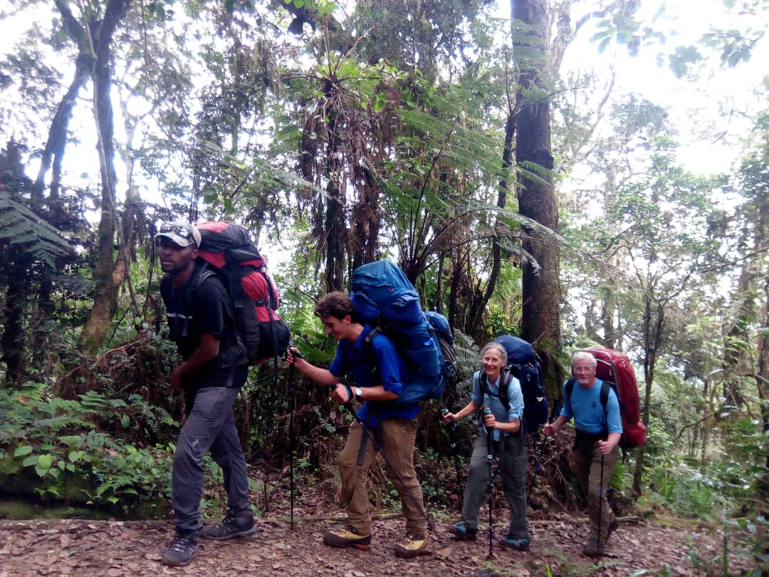
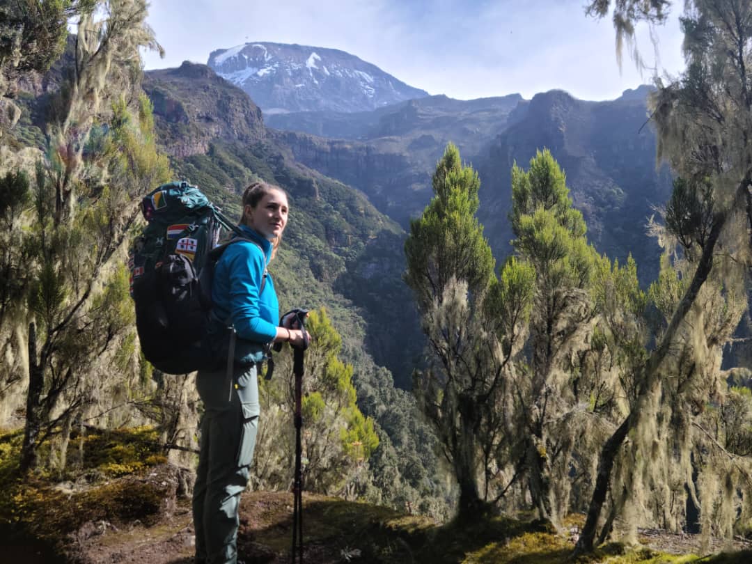
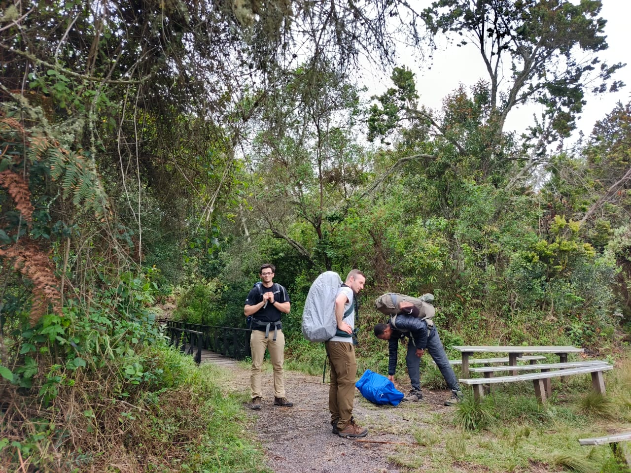
After registering at the gate, a steady walk on a well-kept path through the rainforest to the wooden huts at Mandara. In the afternoon, if the weather is clear, a short walk to Maundi Crater gives your first wide view.
- Day2
Mandara Hut to Horombo Hut
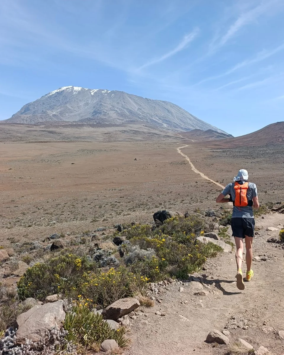
Out of the forest onto heath and moorland, with Kibo and Mawenzi in view ahead. Horombo is a village of huts where climbers going up meet those coming down, so it is lively in the climbing season.
- Day3
Acclimatisation day at Horombo
A walk above the huts and back down to sleep. It is the most the route allows: the lower slopes of Mawenzi, which would give more, are closed to climbers because of rockfall. Even so, the extra night helps, and we strongly recommend it.
- Day4
Horombo Hut to Kibo Hut
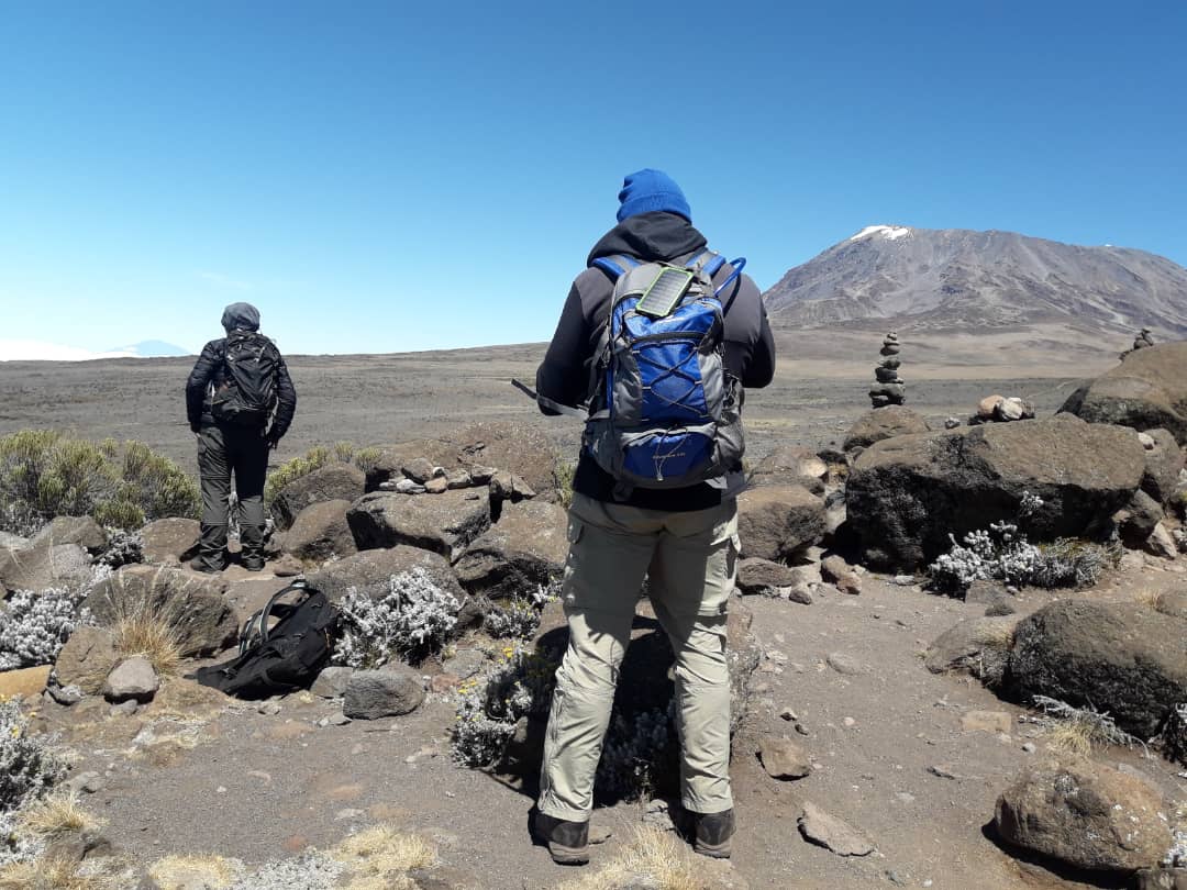
Up onto the Saddle, the high, open desert between Kibo and Mawenzi, to the stone hut at Kibo. An early dinner, and to bed by dark.
- Day5
Kibo Hut to Uhuru Peak, then Horombo Hut
Woken around midnight, you climb a long series of zig-zags up the scree to Gilman’s Point on the crater rim, ideally around sunrise, then follow the rim past Stella Point to Uhuru Peak. Back to Kibo Hut for a rest and refreshments, then down to Horombo: a very long day.
- Day6
Horombo Hut to Marangu Gate
Down through the moorland and the forest to the gate, where you collect your summit certificate, and the drive back to Arusha.
- Day1
Marangu Gate to Mandara Hut
After registering at the gate, a steady walk on a well-kept path through the rainforest to the wooden huts at Mandara. In the afternoon, if the weather is clear, a short walk to Maundi Crater gives your first wide view.
- Day2
Mandara Hut to Horombo Hut
Out of the forest onto heath and moorland, with Kibo and Mawenzi in view ahead. Horombo is a village of huts where climbers going up meet those coming down, so it is lively in the climbing season.
- Day3
Horombo Hut to Kibo Hut
Up onto the Saddle, the high, open desert between Kibo and Mawenzi, to the stone hut at Kibo. An early dinner, and to bed by dark.
- Day4
Kibo Hut to Uhuru Peak, then Horombo Hut
Woken around midnight, you climb a long series of zig-zags up the scree to Gilman’s Point on the crater rim, ideally around sunrise, then follow the rim past Stella Point to Uhuru Peak. Back to Kibo Hut for a rest and refreshments, then down to Horombo: a very long day.
- Day5
Horombo Hut to Marangu Gate
Down through the moorland and the forest to the gate, where you collect your summit certificate, and the drive back to Arusha.
Add a night in the crater
Every route we run, Marangu included, can be lengthened by one day to sleep inside the summit crater at Crater Camp, 5,725 m. This is our Excel Series, and it turns the summit into the start of a day and a half on the roof of Africa rather than a few minutes before the descent.
Our GPS track of the whole crater excursion, every option included: 9.8 km from Uhuru Peak to Stella Point.
- Summitday
Uhuru Peak, Furtwängler Point and down into the crater
From the summit we carry on about 200 m along the rim to Furtwängler Point, then drop into the crater to rest at Crater Camp. Climbers in good form walk to the top of the Western Breach, about 1.0 km there and back, to watch the sun set over Mount Meru, and explore the south face of the Furtwängler Glacier, which is shrinking fast and will not be there much longer.
- Craterday
The Reusch Ash Pit and the Northern Icefields
In the morning we climb to the rim of the Reusch Ash Pit and, if there is time, walk all the way round it. The strongest climbers also explore the Northern Icefields before finishing the circuit. Then on round the rim to Gilman’s Point and down from there.
Marangu prices
Advantage series, our most popular level of support. Per person in US dollars, depending on the size of your booking group, including the park’s hut fees.
Marangu, 6 days
From
USD 2,184per person, group of 8
- 2 climbersUSD 2,410
- Solo, joining a groupUSD 2,410
- Solo, private climbUSD 2,810
Marangu, 5 days
From
USD 1,858per person, group of 8
- 2 climbersUSD 2,067
- Solo, joining a groupUSD 2,067
- Solo, private climbUSD 2,451
Questions about the Marangu route
Why is Marangu called the Coca-Cola route?
Because it was seen as the comfortable route.
Marangu has always been the comfortable route: you sleep in huts rather than tents, and the story goes that bottled drinks were once sold along the way. The nickname stuck, and with it a reputation for being easy. The walking is gentle, but the summit is not.
Is Marangu the easiest route up Kilimanjaro?
The walking is gentle; reaching the summit is not.
The path is well kept and the gradients to Kibo Hut are among the gentlest on the mountain. But Marangu offers almost no chance to climb high and sleep lower, so climbers reach Kibo Hut less well acclimatised than on other routes, and the park’s own figures put its summit success at only 42%.
What are the huts like?
Simple dormitories with bunks and mattresses.
Mandara and Horombo are groups of small wooden huts; Kibo Hut is a single stone building. You sleep on bunks with mattresses, in shared rooms, so bring earplugs. Our crew carries and cooks all your food.
Should I climb Marangu in five or six days?
Six, if you can.
The sixth day is an acclimatisation day at Horombo. It gains only about 200 m, because the lower slopes of Mawenzi are closed to climbers, but the extra night at 3,715 m still makes a real difference to how you feel at Kibo Hut.
Is Gilman’s Point the summit?
No. Uhuru Peak, at 5,895 m, is the summit.
Gilman’s Point, 5,681 m, is where the Marangu route reaches the crater rim, and the park awards a certificate for reaching it. Uhuru Peak, the true summit, is a further walk around the rim past Stella Point, usually around one and a half to two hours more.
Marangu or TK Rongai?
TK Rongai, unless you particularly want huts.
Both climb the eastern side of the mountain and come down the Marangu path. TK Rongai starts near the Kenyan border, climbs over the Mawenzi ridge to sleep lower at Third Cave, and summits from the quiet School Hut. It costs a little more and you sleep in tents, but you reach the summit far better acclimatised. About TK Rongai
Can I download the Marangu route as GPX or KML?
Yes, in both formats.
Use the downloads below the map, or tap the route on the map. Most GPS watches and hiking apps take GPX; Google Earth and some apps prefer KML.
Why climbers trust us with the mountain
Not sure Marangu is for you?
Tell us what matters most, huts, cost or the summit, and we will suggest the route and length that suit you best.
Help me choose